01 / Storyboard
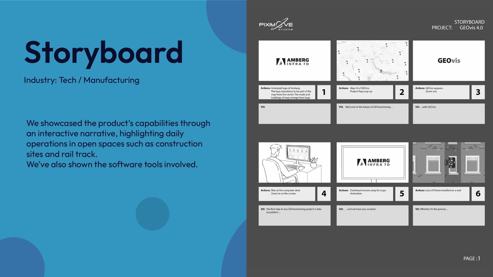
From field to software.
The story follows daily work in open spaces, then reveals the tools that help teams monitor and manage those environments.
Tech & manufacturing / explainer film
A visual introduction to GeoVis and the advanced infrastructure planning, surveying, and geo-monitoring expertise behind it.
The brief
GeoVis needed to show how its geo-monitoring capabilities support efficient environmental tracking and infrastructure management.
Connect technical software tools with the outdoor environments where their data matters.
Build an interactive story across construction sites, rail tracks, field teams, and live software views.
The story follows daily work in open spaces, then reveals the tools that help teams monitor and manage those environments.
A layered digital style connects technological advancement with recognisable field environments and infrastructure.
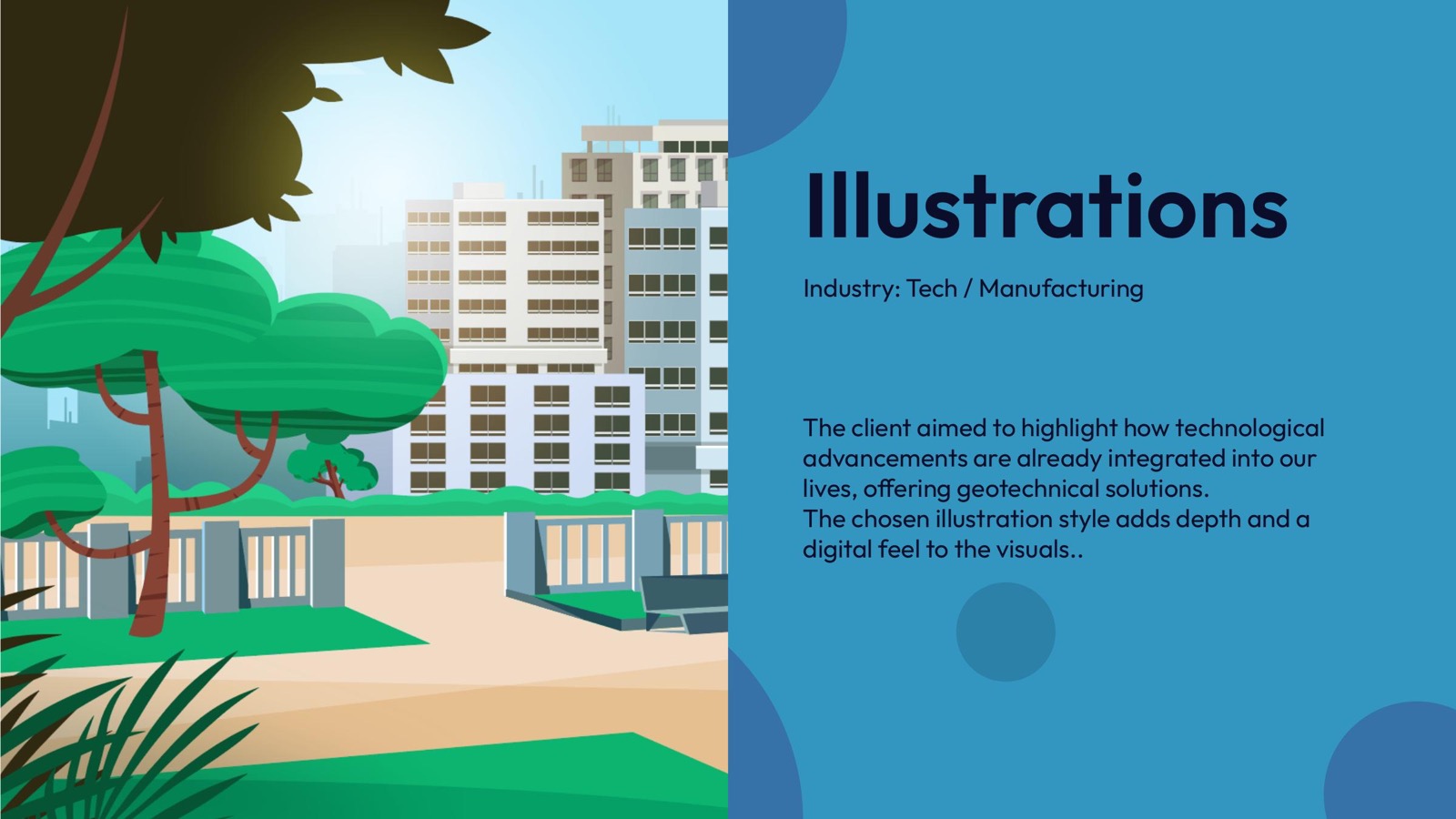
Dynamic camera movement carries the outdoor scenes while smooth software animation gives graphs and tools new energy.
Project outcome
The final film links people, places, and product views so GeoVis feels useful, precise, and easy to understand.
Next case study
Movement for every body,